

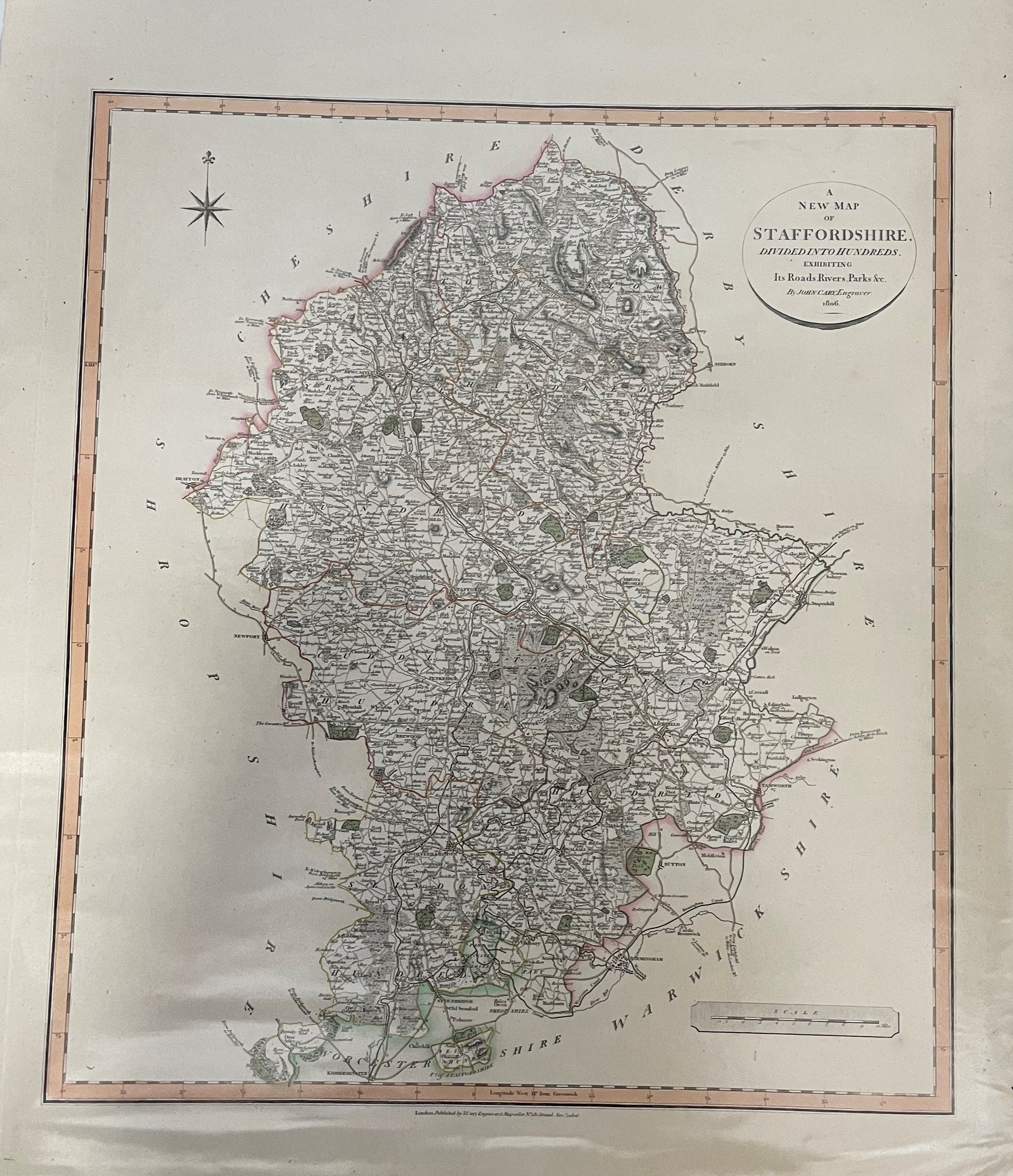
Cary's New English Atlas - Map Of Staffordshire
Regular price
£45.00 GBP
inc. VAT
Couldn't load pickup availability
Share:
County map from actual surveys, 1806. Staffordshire map only. Map with original hand col. Occ repaired closed tears to margins. Occ staining. map approx 550mm x 500mm.(YBP Ref: 011589:69a)
- Author: CARY, John
- Illustrator: CARY, John
- Publisher: John Cary
- Condition: Very Good
- Jacket Condition:
- Size: Elephant Folio - over 15in - 23in tall
- Binding: Unbound
- Type:
- Published in:
- Published Date: 1806
- Edition:
- Inscription:
- Language: English