


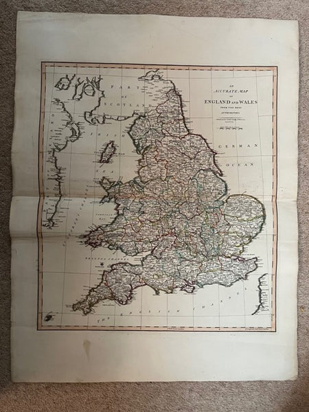
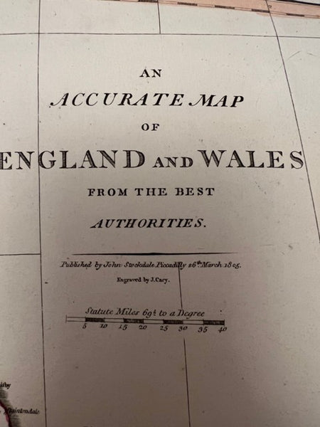

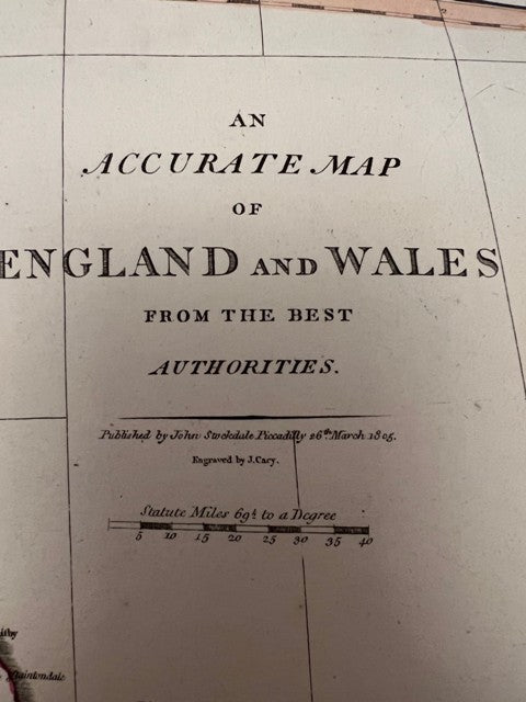

An Accurate Map of England and Wales from the Best Authorities
Regular price
£45.00 GBP
inc. VAT
Couldn't load pickup availability
Share:
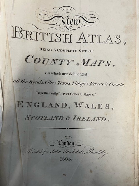
An individual map taken from the 'New British Atlas, Being a Complete Set of County Maps, on which are Delineated All the Roads, Cities, Towns, Villages, Rivers & Canals Together with Correct General Maps of England, Wales, Scotland and Ireland' which was published by John Stockdale, 26th March 1805. Engraved by John Cary. The image is 480 x 425 mm. It has a centre fold plus a number of other creases (minor). Slightly darkened and minor marks. Most other maps available at �45. Additional photos are available upon request. When securely packed this item will weigh in the region of 500g.(YBP Ref: 032142:69a)
- Author: CARY, John
- Illustrator: CARY, John
- Publisher: John Stockdale
- Condition: Very Good Minus
- Jacket Condition:
- Size: Elephant Folio - over 15in - 23in tall
- Binding: Unbound
- Type:
- Published in:
- Published Date: 1805
- Edition:
- Inscription:
- Language: English