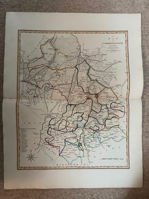


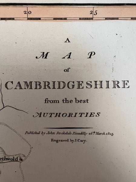


A Map of Cambridgeshire from the Best Authorities
Regular price
£45.00 GBP
inc. VAT
Couldn't load pickup availability
Share:
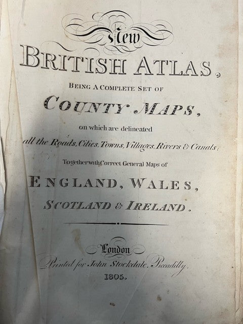
An individual map taken from the 'New British Atlas, Being a Complete Set of County Maps, on which are Delineated All the Roads, Cities, Towns, Villages, Rivers & Canals Together with Correct General Maps of England, Wales, Scotland and Ireland' which was published by John Stockdale, 26th March 1805. Engraved by John Cary. The image is 520x413 mm. Centre fold has slight browning. Most other maps available at �45. Additional photos are available upon request. When securely packed this item will weigh in the region of 500g.(YBP Ref: 032145:69a)
- Author: CARY, John
- Illustrator: CARY, John
- Publisher: John Stockdale
- Condition: Very Good
- Jacket Condition:
- Size: Elephant Folio - over 15in - 23in tall
- Binding: Unbound
- Type:
- Published in:
- Published Date: 1805
- Edition:
- Inscription:
- Language: English